Navigation 101: Map, Compass, Confidence
Objective
Nail reliable movement without GPS using bearings, pace count, and terrain association.
Scenario (Example)
Example: Dense conifer forest; visibility 60–100 m; two creeks and a road for handrails.
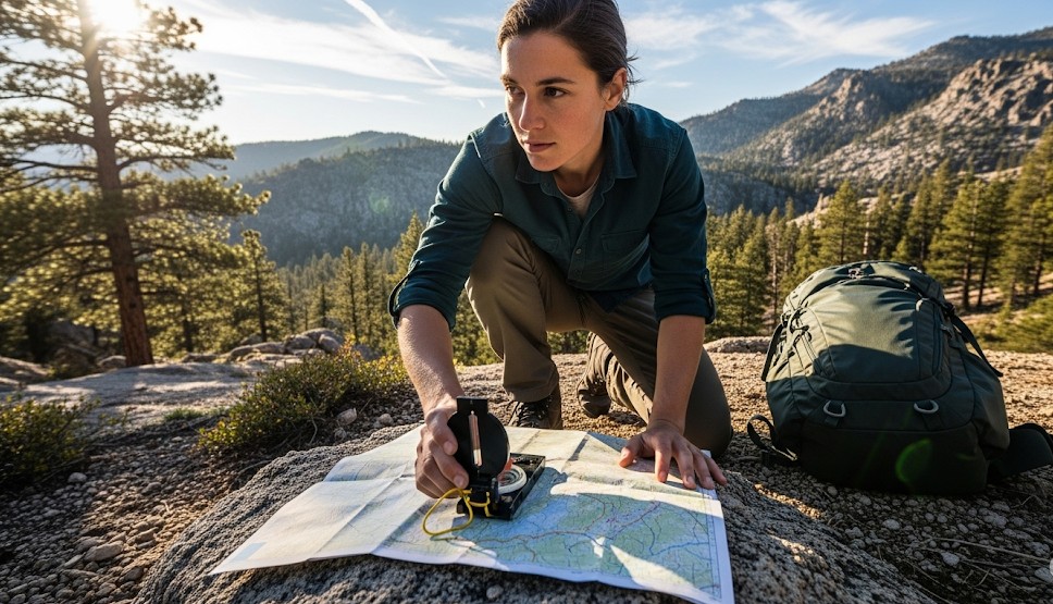
Step-by-Step
- Orient map; mark handrails/backstops.
- Plot bearing to an attack point.
- Set pace counts for flat/up/down.
- Move in legs; confirm features at halts.
- From attack point, shoot precise final bearing.
Terrain Association
- Keep a running model: “rising left, creek right.”
- Use handrails and collecting features.
STOP if Lost
- Stop
- Think
- Observe
- Plan to a known feature
Real Example
Overshot a spur by 200 m; intentionally hit the creek (handrail) and followed it to the attack point.
Checklist
- Baseplate compass
- Printed map
- Pace beads
- Grease pencil
Contingencies
- Interference → step away 10 m and recheck.
- Night nav → slow pace; brighter attack points.
- Fog → shorten legs; tighter backstops.
After-Action
Record actual vs. planned legs and adjust your pace card.
← Previous | All Articles | Next →